A Transportation and Wayfinding Study for the Town of Rosendale
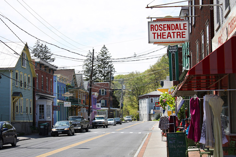
The Town of Rosendale identified a need for a plan that evaluates the feasibility of improving circulation, connectivity and wayfinding between recreation areas, public parking lots and commercial properties in and around the Town center in a manner that respects private properties. In June 2013, the Wallkill Valley Land Trust filled a critical gap in the Wallkill Valley Rail Trail (W.V.R.T.) between New Paltz and Kingston with the opening of the Rosendale Trestle. In combination with the adjacent Joppenburg Mountain trails and nearby Williams Lake Project, this new recreational feature is expected to draw a significant number of new visitors to the area across several modes of travel (bike, pedestrian, and auto). Ensuring that visitors using all modes are able to navigate safely and efficiently to and from these facilities and into the town center without significant conflict is a primary concern. In addition, at present, minimal wayfinding tools are present to direct visitors to the trail or those on the trail to the businesses located on Main Street. It is therefore important that all visitors are properly oriented so that they are able to find and travel to appropriate services, parking, and recreation facilities in a safe and efficient manner and without infringement on private properties. Trail popularity has also given way to minor conflicts between trail users and adjacent land owners, even though ample parking capacity exists at designated locations.
Working with project consultants Barton and Loguidice and WDesign , the project will result in a plan that will provide recommendations that satisfy the following goals:
- increase safety and access in part through a combination of improved roadway markings, controls, devices, wayfinding and other soft/hard measures that will function to create a safe and welcoming environment for visitors and residents alike;
- improve traffic, bicycle and pedestrian circulation and safety measures and provide for a well-oriented public;
- engage the public, stakeholders, and elected officials throughout the process ensuring that all parties have a voice in the outcome; and
- include planning level cost estimates associated with all final recommendations.
Progress to Date
This project has been completed. The final report is available here.
Please contact Brian Slack, Principal Transportation Planner at (845) 334-5590 or bsla[at]co.ulster.ny[dot]us for more information