A Transportation Study Focusing on Kingston's Broadway Corridor
Updated 11/23/15
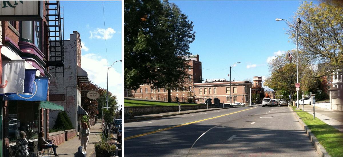
The Broadway corridor in Kingston, NY has been referred to as the “spine” of the city, connecting the historic Stockade and Rondout districts with the neighborhoods of Midtown. The City’s Comprehensive Plan, currently being updated, is focusing on the Midtown area and will examine options for bringing new vitality to the neighborhood through the arts, institutions and government functions. Concurrently, the City has recently been awarded over $3million in various state and federal grants to begin the process of renovating the physical layout of Broadway and connecting streets in a manner that will improve pedestrian and bicycle safety, aesthetics and traffic flow. It is anticipated that these efforts will re-connect the Broadway corridor with surrounding neighborhoods and amenities, such as the Kingston Point Rail Trail and other multi-use trails under development, revitalizing this important regional corridor.
The purpose of this transportation study is to assist the City of Kingston with the realization of these various goals. Working with VHB Engineering, Surveying and Landscape Architecture of White Plains, NY, UCTC will examine factors such as traffic flow, lane configuration, signalization, and bicycle and pedestrian facilities in an effort to determine how the street can function better for motorists, cyclists, and pedestrians, all while keeping in mind the concerns of local residents and business owners.
The study area will focus on the public right-of-way on Broadway between Liberty/Elmendorf Streets to Chester Street. Two public meetings will be held at various points in the project to solicit public input on possible options for improvement and to present draft plans, which will include a 'preferred alternative' recommended for implementation. The project is expected to take approximately 12 months beginning in the June of 2014. A Technical Advisory Committee consisting of local officials and business owners has been assembled to monitor and guide project progress.
Project Objectives
Develop a corridor Plan that includes design concepts to improve mobility, accessibility, and safety for pedestrians, bicyclists, and motorists along and adjacent to the corridor. The Plan will be consistent with complete streets concepts and community goals/expectations. The Plan will be developed in conjunction with and supplemental to the current efforts to update the City’s Comprehensive Plan.
All Documents Updated 11/23/15
Full Final Draft Plan Chapters:
Cover, Table of Contents & Executive Summary
Technical Memorandum 1: Existing Conditions
Technical Memorandum 2: Needs & Opportunities
Technical Memorandum 3: Final Recommendations
APPENDICES
Appendices for Technical Memorandum 1
2014 Automatic Traffic Recorder Counts
2014 Manual Turning Movement Counts
2011 Manual Turning Movement Counts
Parking Survey Area Maps
Parking Demand Table
Intersection & Network Analysis Results (Synchro)
Appendices for Technical Memorandum 2
Bike Lane Alternatives
Decision-making Matrices
Urban Streetscape Improvement from Pittsfield, MA
Appendices for Technical Memorandum 3
Draft Plan
Area Plan
Corridor Transect Plan
Detailed Plan, Liberty Street to Cedar Street
Proposed Cross Section, Liberty Street to Cedar Street
Detailed Plan, Cedar Street to City Hall
Existing Perspective Looking west from CSX overpass
Proposed Perspective Looking west from CSX overpass
Detailed Plan, City Hall to Chester Street
Detailed Plan, Broadway to Jansen Avenue
Placemaking at Pine Grove Avenue
Placemaking at UPAC
Placemaking at Henry Street
Separated Bike Lane Example
Draft Plan Cost Estimate
Bike Lane Alternatives Considered
Synchro Analyses Results
Public Meeting 1: Need and Opportunities Presentation
Presentation Slides 1-42
Feedback from Public Meeting 1
Public Meeting 2: Recommendations Presentation
Presentation Slides
Public Meeting 2 Comments Received
Contact Brian Slack, Principal Transportation Planner for more information at (845) 334-5590 or bsla[at]co.ulster.ny[dot]us